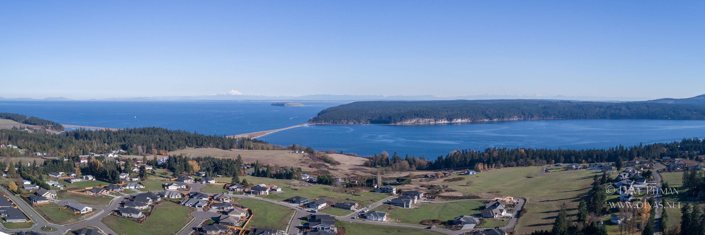
Aerial 360 Panorama Landscape Photography Service
To produce a 360 landscape panorama, a series of overlapping images are captured by a drone. Software is used to stitch the photographs, minimize distortion errors, and finally render a 360 x 180 (2:1) panorama photograph.The panorama can be hosted on a website like it is here. Or, it can be viewed off-line on a pc.
Contact us to explore your ideas. Consultation and estimates are Free.
Some of our 360 Landscape Panoramas
Or, select a pin on the map and a dialog will open on the left with a link.

